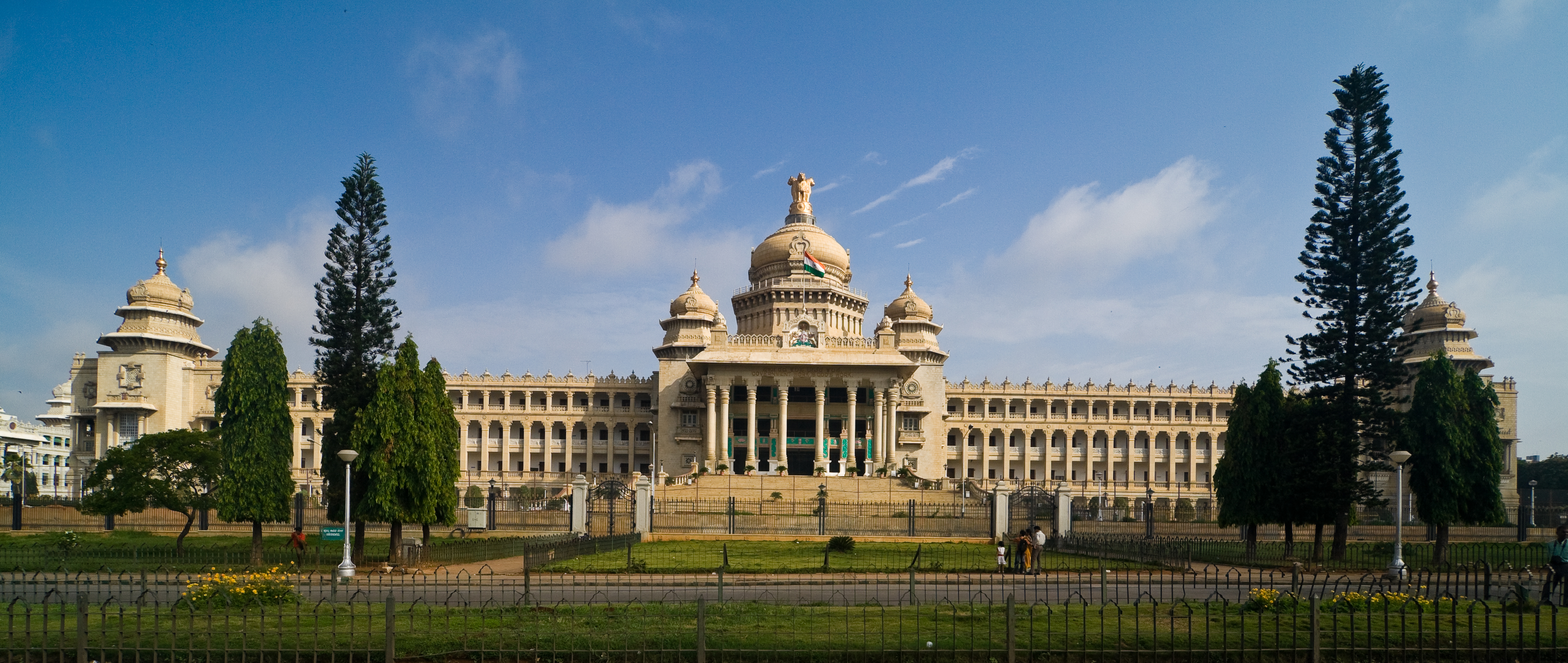
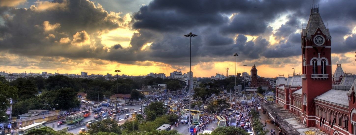
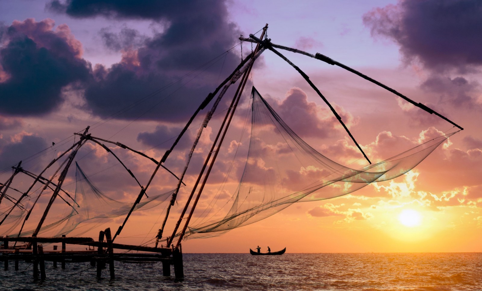
SOUTH INDIA
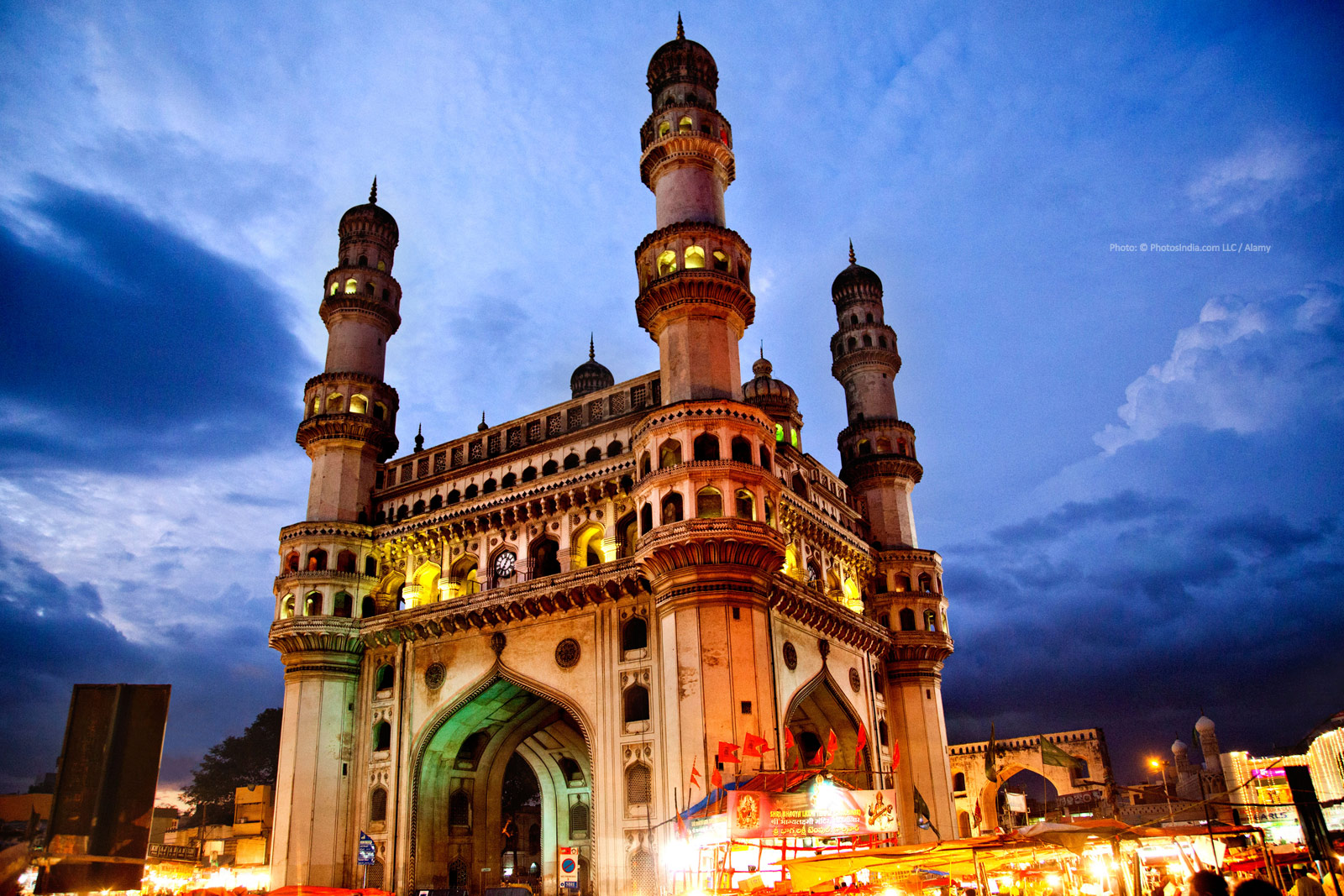
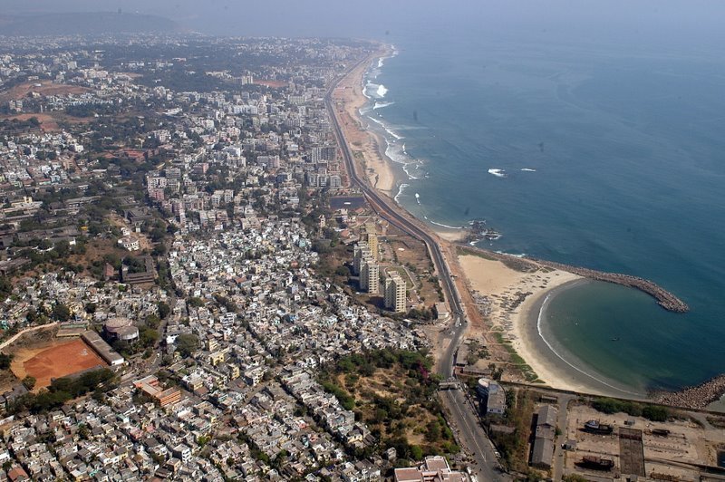
South India,the land below the hills called the Vindhyas.South India includes the southern part of the peninsular Deccan Plateau and is bounded by the Arabian Sea in the west, the Indian Ocean in the south and the Bay of Bengal in the east. The geography of the region is diverse, encompassing two mountain ranges, the Western and Eastern Ghats, and a plateau heartland. The Godavari, Krishna, Tungabhadra, Kaveri, and Vaigai rivers are important non-perennial sources of water. Chennai, Bengaluru, Hyderabad, Vijayawada, Visakhapatnam, Coimbatore, Kochi andThiruvananthapuram are the largest and most industrialized cities in the region.
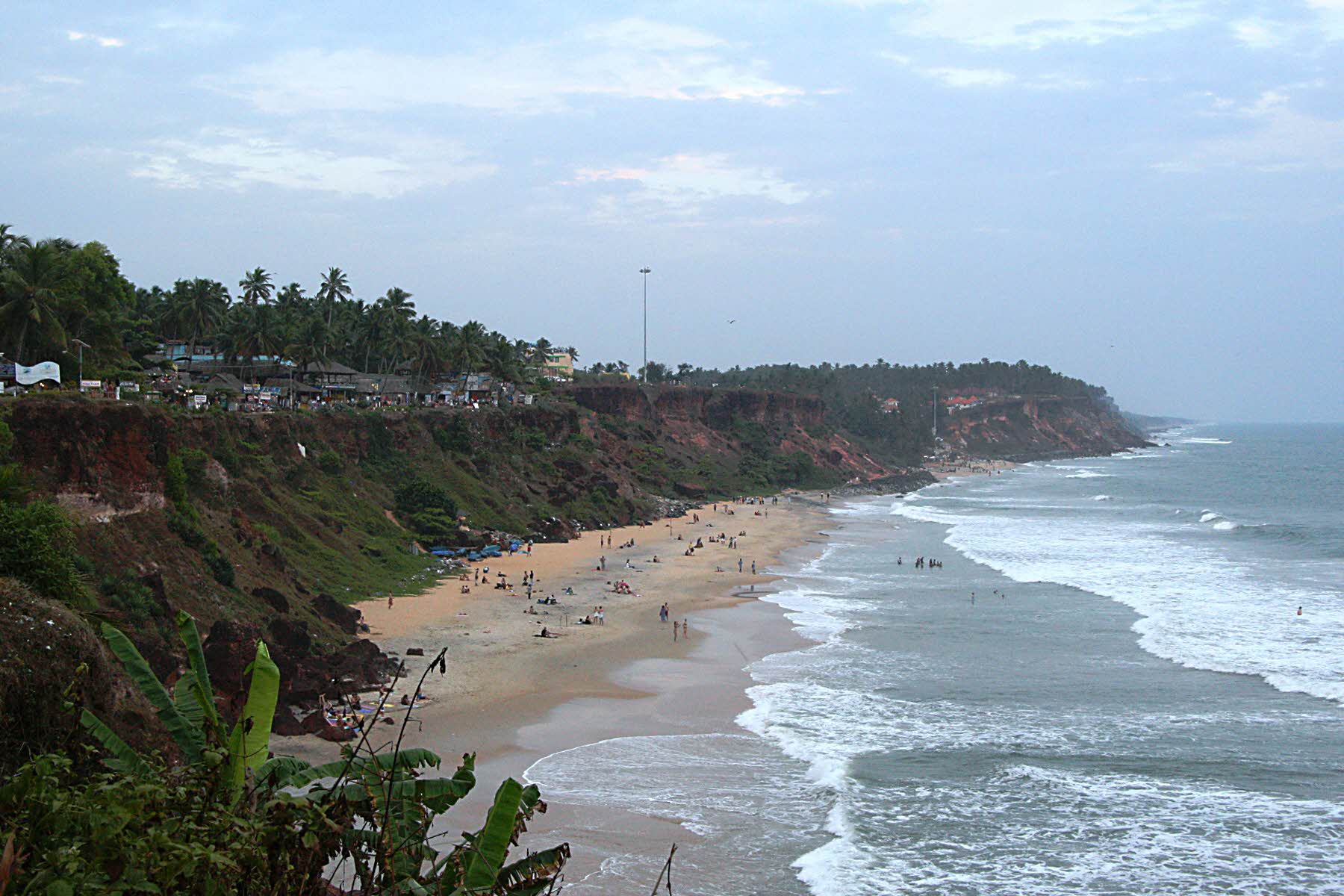
South India is a peninsula in the shape of a vast inverted triangle, bounded on the west by theArabian Sea, on the east by the Bay of Bengal and on the north by the Vindhya and Satpuraranges. The Narmada flows westwards in the depression between the Vindhya and Satpura ranges. The Satpura ranges define the northern spur of the Deccan plateau. The Western Ghats, along the western coast, mark another boundary of the plateau. The narrow strip of verdant land between the Western Ghats and the Arabian Sea is the Konkan region. The Western Ghats continue south, forming the Malenadu (Canara) region along the Karnataka coast, and terminate at the Nilgiri mountains, an inward (easterly) extension of the Western Ghats. The Nilgiris run in a crescent approximately along the borders of Tamil Nadu with northern Kerala and Karnataka, encompassing the Palakkad and Wayanad hills, and the Satyamangalam ranges, and extending on to the relatively low-lying hills of the Eastern Ghats, on the western portion of the Tamil Nadu –Andhra Pradesh border. The Tirupati and Annamalai hills form part of this range. The low lying coral islands of Lakshadweep are off the south-western coast of India. Sri Lanka lies off the south-eastern coast, separated from India by the Palk Strait and the chain of low sandbars and islands known as Rama’s Bridge. The Andaman and Nicobar islands lie far off the eastern coast of India, near theTenasserim coast of Burma. The southernmost tip of mainland India is at Kanyakumari (Cape Comorin) on the Indian Ocean.
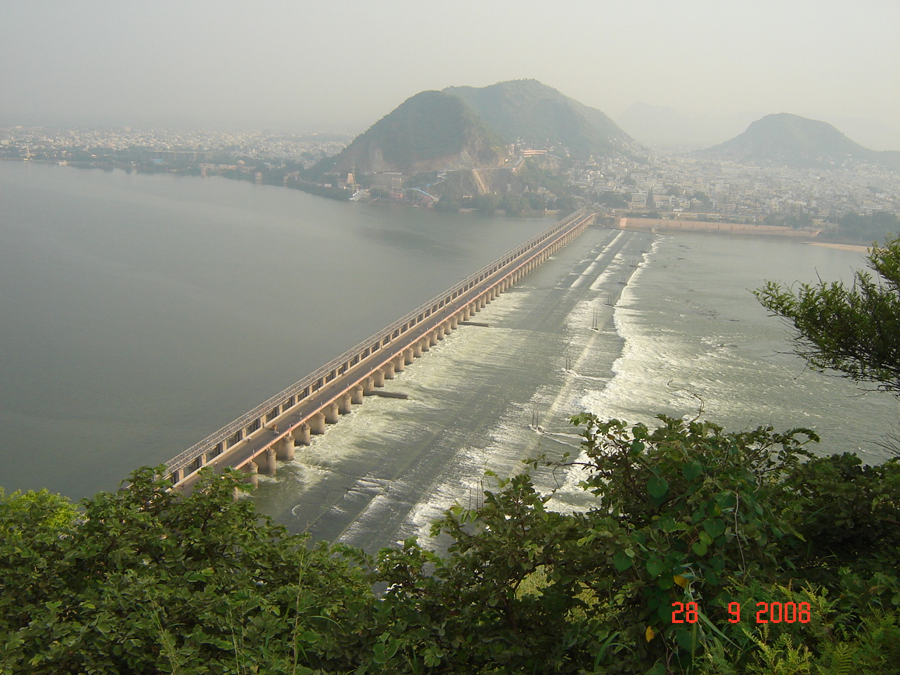
The Deccan plateau is the vast elevated region bound by the C-shape defined by all these mountain ranges. No major elevations border the plateau to the east, and it slopes gently from the Western Ghats to the eastern coast. The plateau is watered by the east flowingGodavari and Krishna rivers. The other major rivers of the Deccan plateau are the Pennar and the Tungabhadra, a major tributary of the Krishna. Vaigai and Thamirabarani River are major rivers which emerge from the southern part of the Western ghats, flow eastward and empty into the Bay of Bengal. The three major river deltas of South India, the Kaveri, the Godavari and the Krishna, are located along the Bay of Bengal. These major rivers provided irrigation to much of the land which provided food grain to Southern India. In particular the coastal detla regions traditionally constituted the rice bowls of South India.